There’s a particular kind of pride that comes from loving a place other people have never heard of. Oswego is, in its own way, a postcard town—its shoreline on Lake Ontario offers views worth stopping for, all along the city’s edge. It’s also a college town with the same everyday mix of shops, diners, schools, and neighborhoods you’d find in any small city. Ask anyone who grew up here, and you’ll hear the same thing: there’s something about this town.
I took this photograph from the old railroad bridge, now just a footpath, that spans the Oswego River—a structure that once carried freight and now carries walkers, joggers, and people like me chasing light. From up there, you can see why Oswego is here at all, laid out at once: some buildings that have watched the river for generations, the water moving steadily toward the lake, and at the very end of the frame, small but unmistakable, the lighthouse standing watch over the harbor.
The Iroquois called this spot osh-we-geh—”pouring-out place”—and for good reason: whoever controlled this river mouth controlled the route between the lake and everything inland. Just east of the harbor sits Fort Ontario (hidden from view in this photograph by progress), rebuilt again and again since 1727 because the ground mattered enough to keep fighting over. Centuries later, in 1944, that same fort became the only place in America to shelter refugees fleeing the Holocaust—people finding safe harbor at the very spot where the river empties into the lake.
People are fond of their hometowns in a way that’s hard to fully explain to someone who didn’t grow up there. It’s not that Oswego is the biggest or the most photographed place on earth—it’s that it’s mine. This is the Oz I know: postcard-pretty in places, quietly historic in others, and, from the right vantage point on the right evening, absolutely magic.
The Finger Lakes region has a way of hiding its best moments just off the main road—you simply have to be willing to wander a bit to find them.
Autumn was settling in when we visited here in early October of 2022. The trees were beginning their quiet annual negotiation: each leaf slowly sealing itself off at the stem, an invisible abscission layer cutting it free from the branch that fed it all Summer. The result is the show we wait for all year—chlorophyll fading to reveal the golds, ambers, and rust-reds that were hiding underneath all along. It’s less an ending than an unveiling, and it’s reason enough to slow the car down and just look.
The original plan was to use all three days of this holiday weekend to be on the road and traveling. That turned into just two days of travel. But early Saturday morning we settled on a single day. The decision was made because there are too many things that need to be done and the weather forecast changed to indicate rain for part of Saturday and Sunday, and all day Monday.
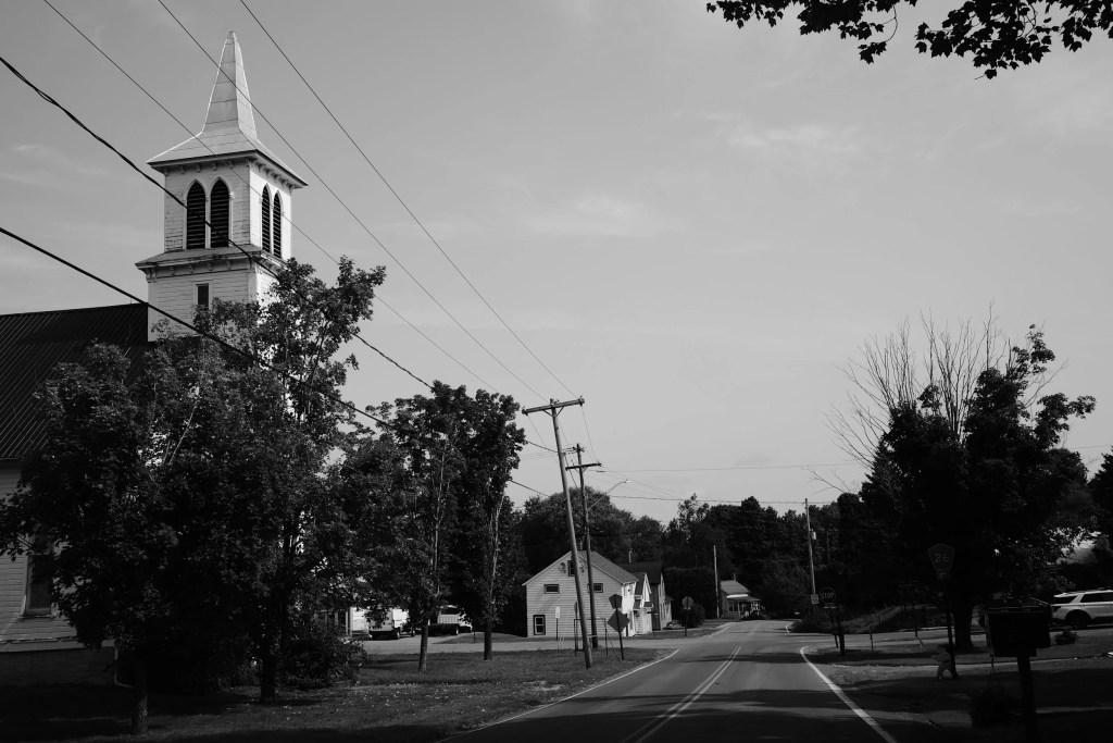
Although we planned on a 9 AM start, we never pulled out of the driveway until 9:30. The route we planned was ambitious, circling through the Adirondack Park for a total of just under 400 miles. Taking the Mazda3 was another decision we made, instead of taking the Spyder F3 or the Gold Wing. The bikes would be fun, but neither one of us was ready to tackle that many miles in one day so early in the riding season.
Our first stop was a Sunoco/mini-mart place near Taberg, NY (43.280320415219734, -75.5804734198502) to pick up some things to drink and a few light snacks. I grabbed the last package of trail mix, eyeballing it a bit questionably since the whole store looked a bit rancid and the stuff was an off-brand. I should have trusted my instincts: The trail mix turned out to be far beyond its shelf life and was inedible.
We had visited this fortified, stone homestead over a year ago, but it was closed at the time so could only roam around the grounds. Today it was open and a very well informed docent gave us a great tour and history lesson about this very interesting place.
Palatine Church
Just a short distance further along Route 5 toward Albany, we made a quick turn to visit the Palatine Church. The church was constructed in 1770! Hanging inside the church is an original America flag with 13 stars. You can visit this historic site by clicking either of these navigation links:
We finally hit the blue line — the border of the Adirondack Park — at about 1:45 PM as we passed through Mayfield, NY, on NY Route 30. 15 minutes later we were crossing the Sacandaga River and entering Northville. The adjacent Great Sacandaga Lake was absolutely filled with small boats, canoes, and kayaks. It was a great day to be on the water and clearly a considerable number of people were taking full advantage of the sunny day.
While we didn’t spend just pennies, we managed to limit ourselves to a deck of Tarot cards and two chocolate Charleston Chews. The first candy bar didn’t last more than 30 minutes. The second is in the freezer for a later date. I have no idea what Kim’s plans might be for the Tarot cards!
Wells, NY
By now it was becoming very clear that finishing the full extent of our planned route (pictured at the top of this page) would get us back home far too late and leave much of the trip in the dark. Instead, we quickly plotted a different path toward home via Speculator, NY, and headed (mostly) West.
Along the way, we passed through Wells, NY (///proclaimed.rats.thuds • https://w3w.co/proclaimed.rats.thuds). Wells is a nice little town and Route 30 passes over a bridge as you leave town that offers some nice views of Lake Algonquin. We decided not to stop anywhere in town, but we will put Wells on the list of places to visit again.
Just North of Wells, Route 30 interests with Route 8. And just North of that intersection is the trailhead for the Auger Falls loop trail. This is a relatively short hike (about 30 minutes) and a great way to see some beautiful scenery along the Sacandaga River. Auger Falls cover a span of about a quarter mile, dropping the river about 70 feet. Even though the hike is short, we didn’t have the time for this today.
What we did have time showed up quickly as the now-closed turn for Old Route 30. An old bridge across the Sacandaga River, completely blocked to vehicle traffic, made a nice spot for a quick photo opportunity. You can find this bridge here: 43.48862566524696, -74.27300284654227.
The Inn At Speculator
Our last stop of the day was to get some food. We opted for The Inn At Speculator. Located on the North shore of Lake Pleasant (43.493947354187206, -74.37089382654008), we were very pleasantly surprised by the assortment of interesting menu choices. Most enjoyable was the waitstaff who were very friendly and clearly enjoying their work. While we have never stopped here before, we certainly will add it to the list of options when we are next in the Speculator area.
Should you be looking for this restaurant, you will find it immediately adjacent to the famous Welcome To Speculator sign (43.494292652503205, -74.37071519876403).
When we had arrived at The Inn At Speculator, the day will still sunny and absolutely beautiful. But by the time we left, clouds had filled the sky and it was obvious we would be making the remainder of the journey home in the rain. That proved to be true so we didn’t attempt any more stops.
Despite the abbreviation of the trip both because of the other commitments to which we had to attend and the arrival of the rain, the day was great and, as always, it was an exceptional feeling to be on the road and exploring.
Our crossing of the Piscataqua River between Portsmouth, New Hampshire, and Kittery, Maine, on the Sarah Mildred Long Bridge, U.S. Route 1 Bypass. September 2nd, 2023.